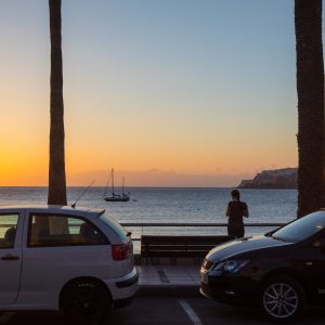
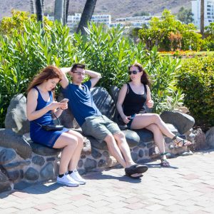
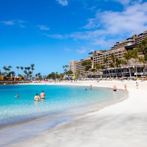
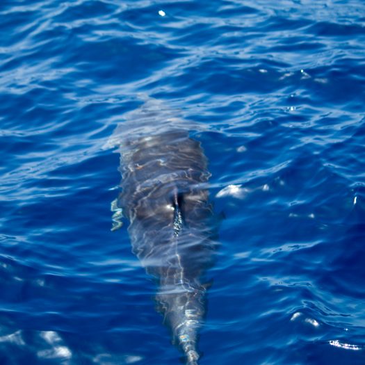
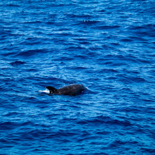
The last two days we spent relaxing near our hotel, swimming, reading a book on the beach. Not to waist the whole day just lying on the beach we decided to go on a short trip with a boat to try and find dolphins that usually swim nearby. Surprisingly enough after about 45 minutes of riding the waves we actually came to a group (school?) of dolphins. They were jumping out of the water and swimming around the ship. As per usual, I managed to miss all the good shots. They are surprisingly large up and close.
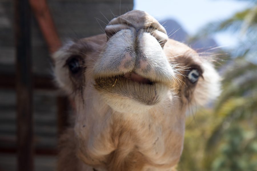
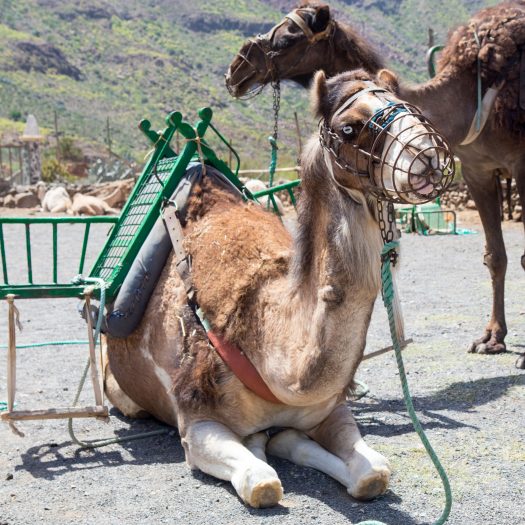
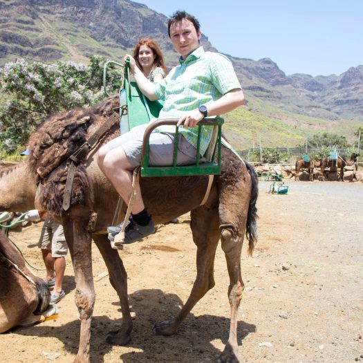
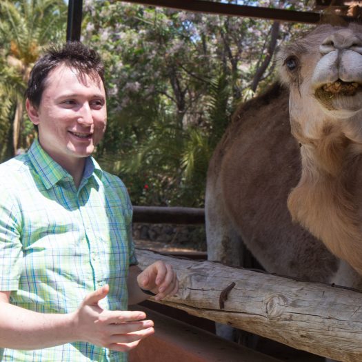
And the main thing … well you can’t say you’ve been in Africa if you haven’t ridden a camel – sort of.
Camel
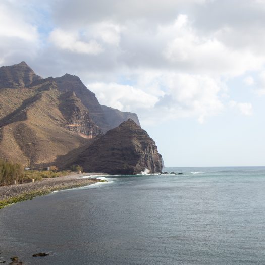
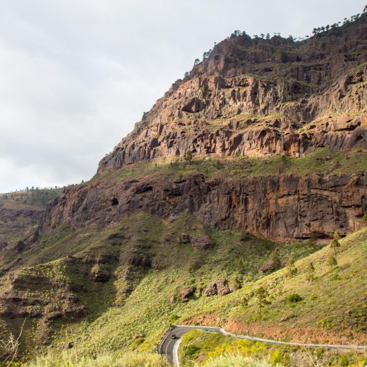
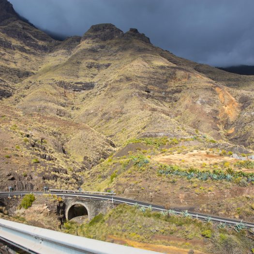
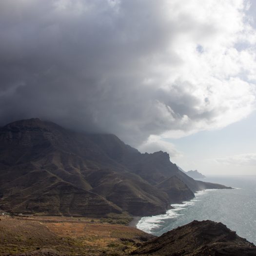
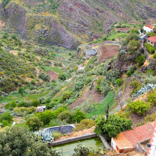
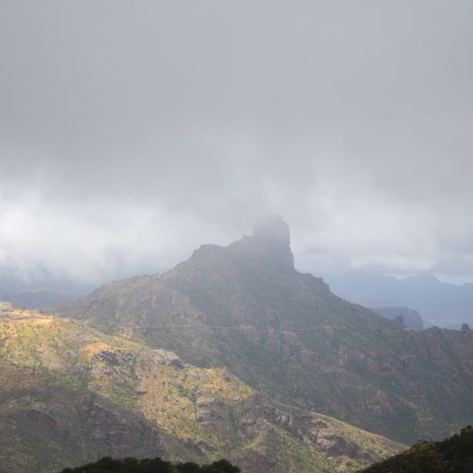
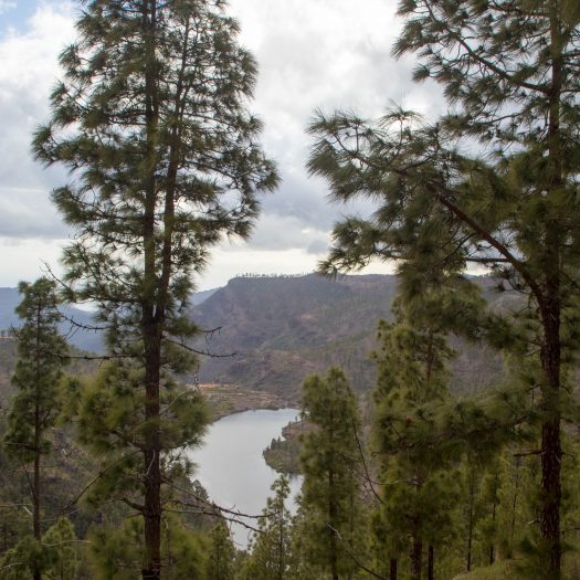
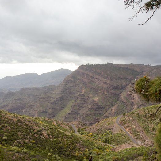
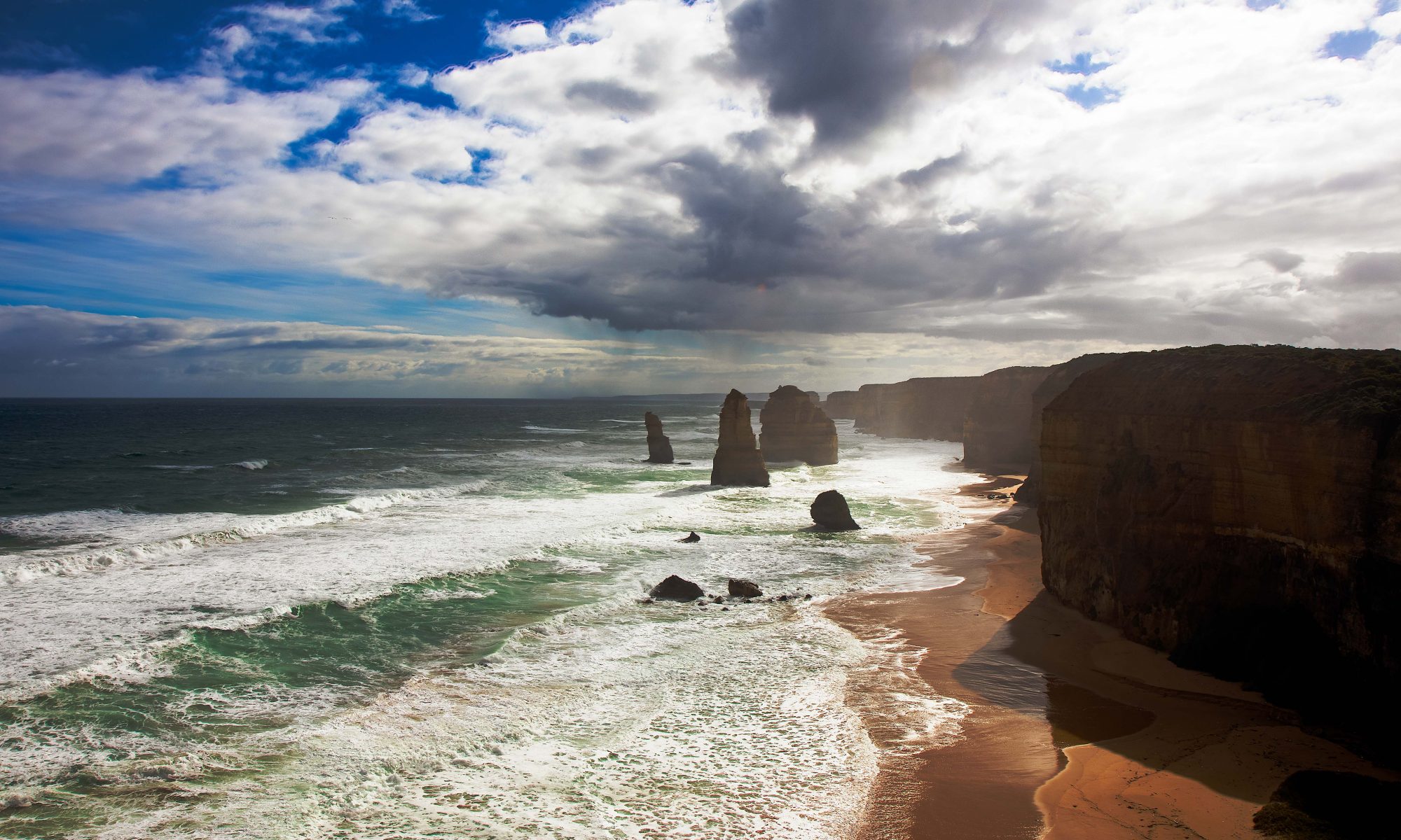
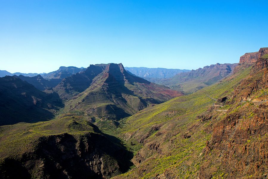
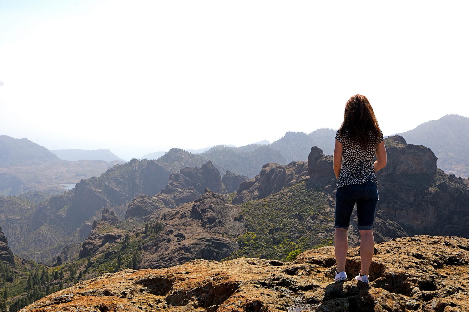
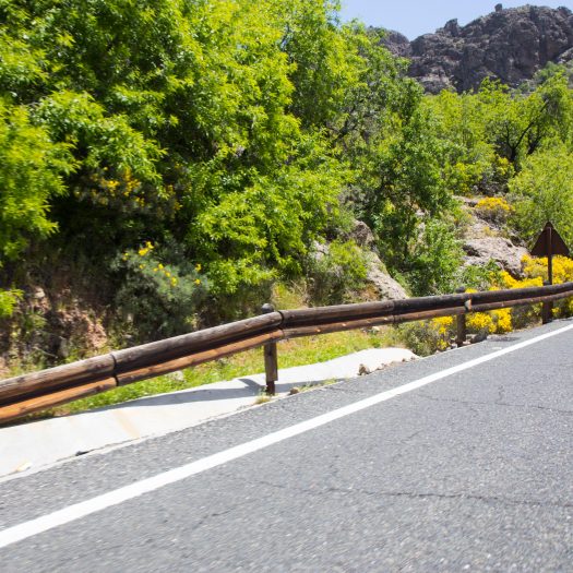
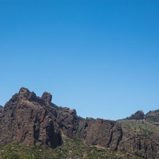
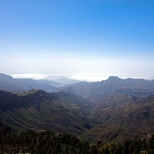
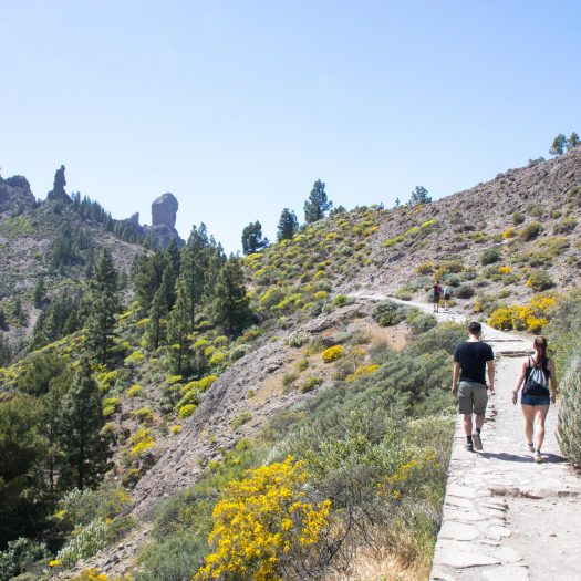
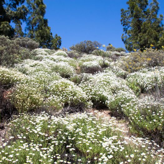
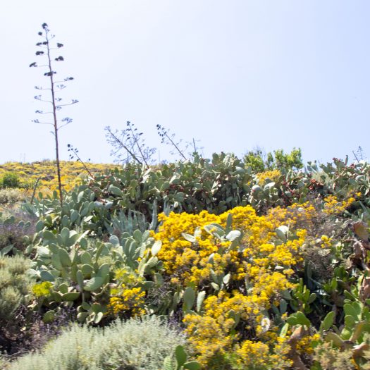
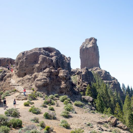
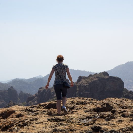
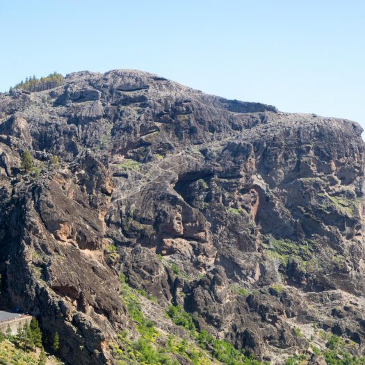
On the last day, the sky was super clear so we again decided we should go and try to hike on the Roque Nuble. We took a different route now (with a car), it was suppose to be a bit faster. On the way there, we drove through some amazing valleys, they reminded me of Grand Canyon.
Reminds me of Grand Canyon.
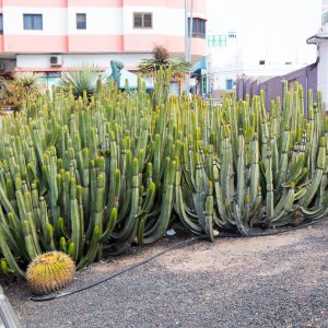
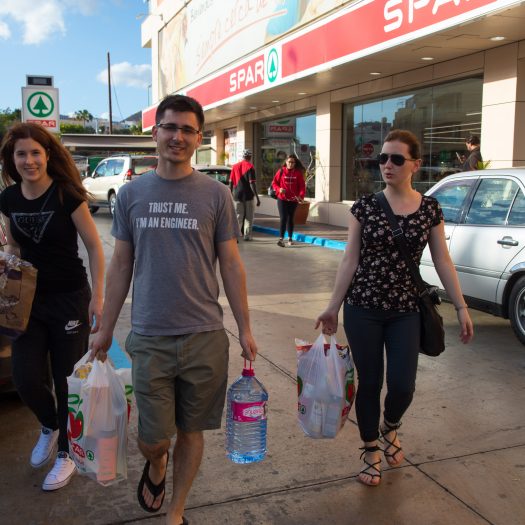
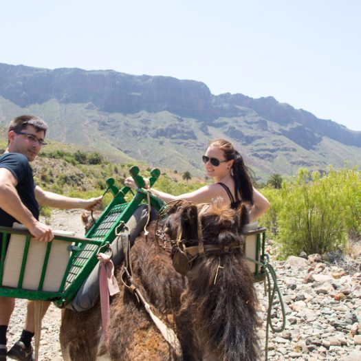
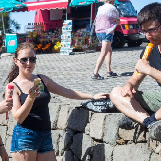
And somewhere along the way we found a big sign that sad camel safari. It didn’t take us long to decide to check it out. We found out you can actually ride the camels there for about 20€ / person. Well you don’t get this chance every day so it wasn’t long we were sited high on the camels, slowly swinging as they walked. Sadly they had these big ugly green saddles on the camels, so we weren’t sitting directly on them, but it was a fun hike anyway.
Camel
Camels
Camel Riding
Camels
On the Camel
Camel
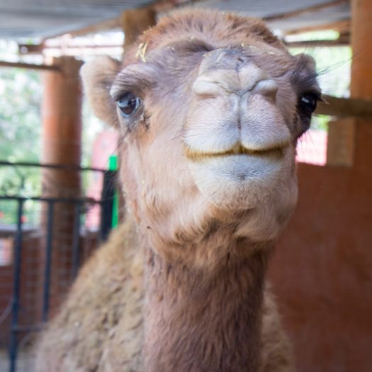
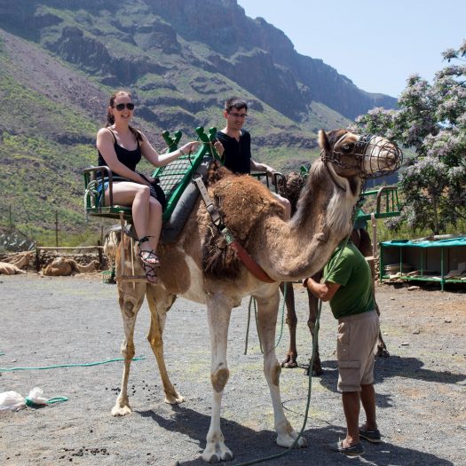
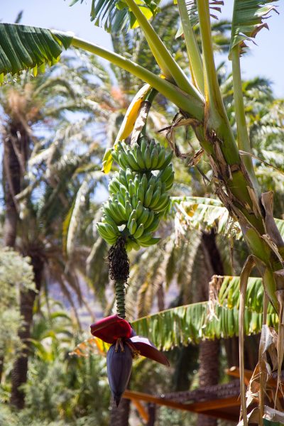
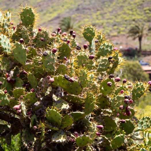
After the ride we finally realized we were in Africa, despite being April it was so incredibly hot on the sun, and despite using 50 sun sunscreen, you could actually see the “sleeves” later in the evening, the total camel hike lasted about an hour. The place also had some other animals there and a banana palm. Don’t think I ever saw one before, it actually had some bananas on it.
Banana tree
Some other fruit
We actually ate a marmalade from this cactus. It was really good.
Cactus
Petting a camel.
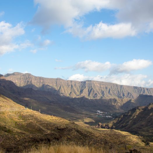
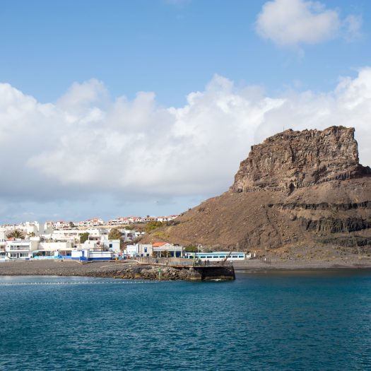
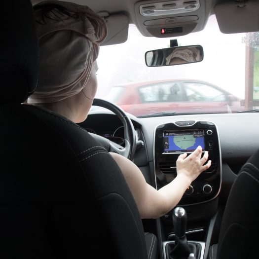
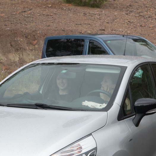
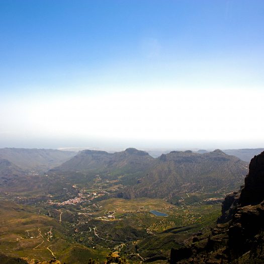
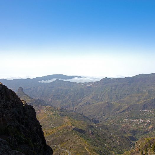
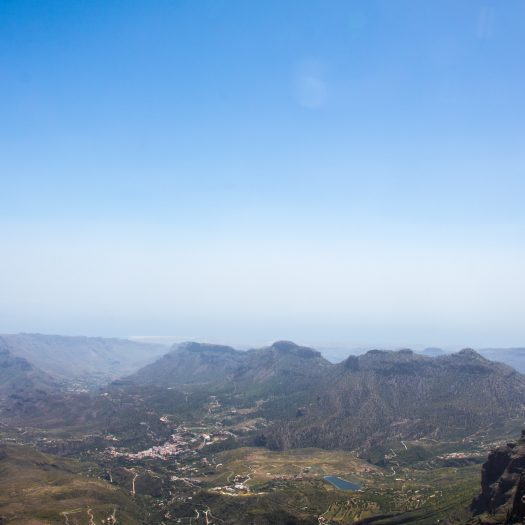
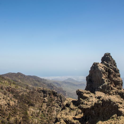
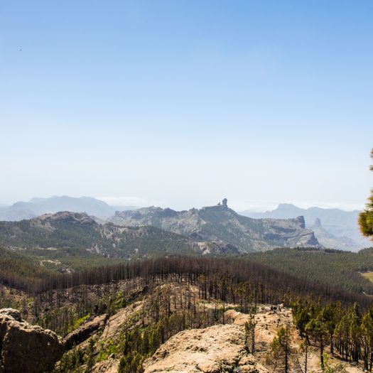
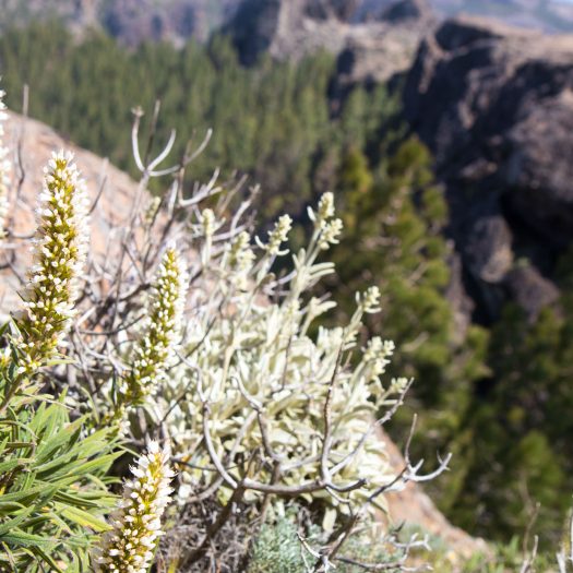
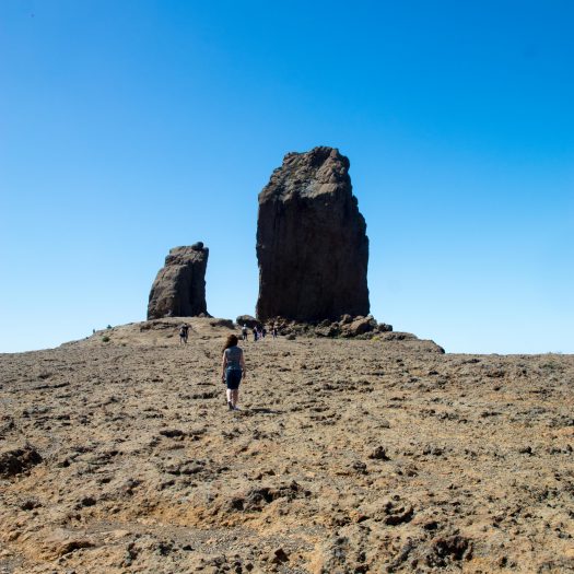
On our way to the top we stopped at a gas station. I’m mentioning this because the woman working there actually filled the car for us, I don’t remember when this last happened in Slovenia, must have been at least 20 years ago. Anyway this time we reached the top of the island and luckily there were no clouds to be seen anywhere. The views were really amazing.
Views from the center of island
Not sure why they did this, but the fences all looked like they were from wood.
I think you can see the desert in the distance.
This was the highest point of the island. You can see Roque Nuble in the distance
When it’s not raining and you don’t go off it, the path is really nice.
This yellow thing grew all over the island.
This is how it looks like when there is no fog.
It was so hot when the skies were clear.
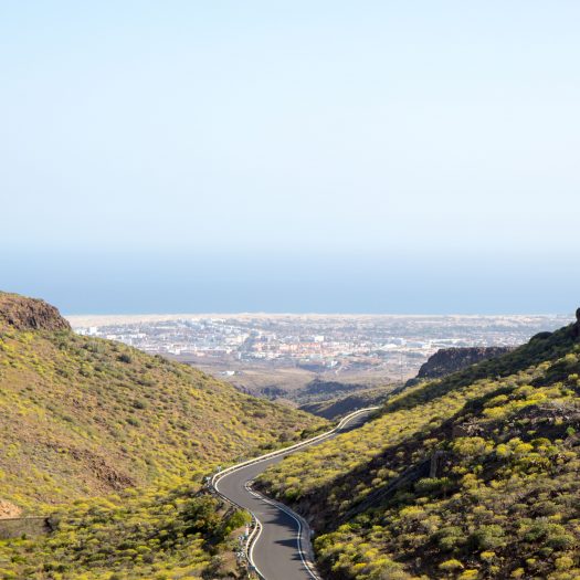
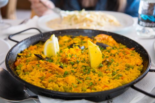
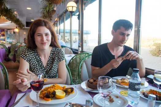
In the evening we returned to Maspalomas, we had an early flight at 5 am or something, so we didn’t rent a hotel for the last night. Instead we went to a nice restaurant at the edge of the dessert to have another paella and then played about 30 games of briskula late into the night until it was time to actually go back.
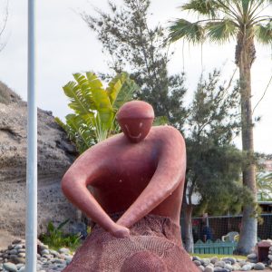
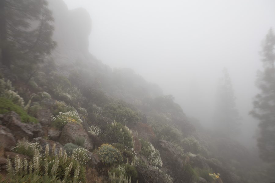
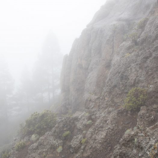
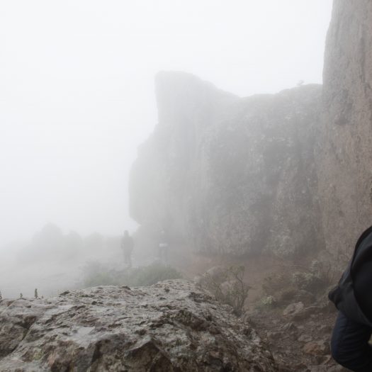
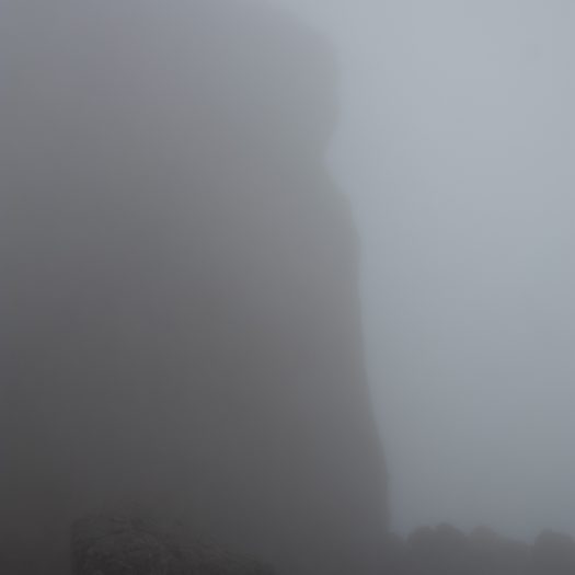
All in all it was a very fun trip although a bit short. We did a lot of exploring and I will never forget the first hike to the rock in that fog and rain. Hopefully we will visit Canary Islands again soon, this time some other island. By the looks of it Tenerife island is even better.
After a rainy Sunday it was only natural to go someplace that is know for a lack of rain – the desert. It just so happens there is a small desert in the south of the island. I’m not really sure if it really is a desert, but it sure looks like it. Large sand dunes stretch couple of kilometers around at the seaside in the south.
Mespalomes dunes
The dunes were surprisingly large, it took quite some time to get on top of one.
Sand dunes
Drinking water
Almost dead
Running to try and get in place before the photo is taken. No luck.
The dunes
Original
The town of Maspalomas is the most touristic area of the island, full of bars, hotels and restaurants. After the dunes we hiked around the town before going back to our apartments. For most of the time we cooked for ourselves, I think in total we ate outside 3 times, and all three times it was paella time.
Paella
Sadly it wasn’t as good as the one Veronika and I had in Valencia couple of years ago.
On Tuesday we went to visit the main city on the island Les Palmas, the city is located on the far north of the island. It is quite large, almost 400.000 inhabitants, so larger than Ljubljana. We visited couple of stores and hiked alongside the main beach. Aside from few interesting shops there wasn’t much to do here and we were happy we picked south of the island for our vacation.
Learning to surf
We first thought it was actually a person pretending to be still for money.
In the afternoon, instead of taking the highway and going down the same way we came up, we decided to go around the island. Again, the roads quickly became narrow, cutting into the edges of cliffs high above the sea. The views were amazing though.
Cliffs on the west side
We had to go over some mountains to get to the other side
Strangely middle of the island was almost all the time covered by large dark clouds.
Port for ferry to Tenerife
We stopped at a couple of places along the way. At the most west part of the island there was a iconic traditional colored lighthouse.
The westernmost point of Gran Canaria.
It took us half a day to get back home again. Along the way, from time to time, we saw this funny traffic sign, alerting drivers about donkey-cow, sadly we did not see any live specimen of the animal depicted.
More than 6 years have passed, since my friends and I planned a trip to Canary Islands. Sadly back then, just couple of months before our departure Ryanair cancelled our flight and we had to change our plans and go to mainland Spain. Since then we waited for the right moment to take that trip again and this year that moment had came. In the end of April Veronika, I and two of my friends Vito and Eva finally left Europe and landed in Africa.
Our destination was Gran Canaria – the third largest island of Canary Islands. The round island is of volcanic origin, it is relatively small – only measuring 50km in diameter. It is located about 200 kilometers west of Western Sahara in Africa.
The only day we could see it, volcano on the neighboring island Tenerife. I think it’s around 4.000m high.
The flight from Venice took about 5 hours and I think it is the longest (by far) flight operated by Ryanair or some other low budget airline in Europe. We landed about 4pm on the island where we rented a car. We have pre-booked the car, while we were back in Slovenia, I still cannot believe how cheap it was. We booked our car at AutoReisen, and for 7 days we paid less than 50€ (not per day, in total). Noted, we did rent it out of the main tourist season, but still, it was actually cheaper to rent a car for whole week than to take a taxi from the airport to our apartments on the other side of the island.
First sunset in Africa.
We arrived to our apartments in the evening, we choose the south of the island for our home base – a small town of Arguineguin. Surprisingly the weather on the island varies differently on the location, the south is better for summer holidays, it is warmer, sunnier and as a bonus it has a small desert couple of kilometers from our location.
Our bay in the sunset
Tenerife can be seen in the background.
First taste of the water
Graffiti
Cactus is growing everywhere.
Cactus
Cactus
In the shade
Nicely tended grass
Beach
Beach
Statue, I think it has something to do with the natives.
Can you hit the mark?
Lets go on a ride
Canal
On the sun it was very very hot
We spent our first two days exploring little towns around us and swimming. Despite this being Africa and getting burned really really fast on the sun, the water was cool – couldn’t have had more than 20 degrees, so in the end we didn’t swim that much. The area is very touristy, with lots of activities, beaches and paths everywhere.
To our amusement the people there seem to like Spar (the store) very much, it was literary on every corner.
Spar on every corner, literary.
On Sunday (3rd day) we decided to go check out markets in the northern part of the island. The weather wasn’t the best but at least it wasn’t raining, yet. We took the highway on the eastern part of the island to go north and then went through the middle of island back. After about an hour of driving, we reached small town of Teror where the market was located. The market was nothing special, but Vito and I managed to “pirate” a recipe from some tourist cuisine book, that we later replicated. It was the Spanish pancake thingie, that Mikel did in Luleå once.
Lights?
Cheese on market.
Teror
Market stalls
Teror
Gaining sugar like in the old dasy.
Some of the buildings inside the island were nicely decorated and had weird shapes.
Small town on the island
After the market we continued toward the middle of the island. There are two very high “rocks” in the middle, from where you can see half of the island. Sadly the closer and higher we got, the more clouds gathered. In the end when we finally reached the Roque Nublo it started to rain a bit, we stopped the car just below the fog. Since we already came here, we thought it only makes sense to actually hike to the top, it was suppose to be about 30 minute hike on a nice path to the top. This turned out into a fun adventure, soon after we left the car we found ourselves in a dense fog, the rain started pouring down on us, the paths literary turned into streams. After about half an hour we suddenly found ourselves in the middle of steep slope, below some cliffs and in some dense vegetation. The fog was so dense we weren’t sure where we were or where we had to go. After searching for another half an hour, climbing the steep slopes we finally figured out we were lost. After some intense backtracking and searching we finally found the correct path and soon climbed to the top where we could see exactly nothing, the fog was so dense the visibility was about 5m .
At one point we noticed we aren’t on any path anymore. How could we miss the big wide road?
Steep slopes everywhere. Yet people build houses and roads on them.
Some other pointy mountain
Getting lost at Roque Nuble. Toward the top it got really steep and rocky. When we got lost we actually had to climb over some rocks.
Path to the top
Nice views on the top
We returned to a car about 3 hours later, all wet and cold. As we lowered from the mountains the fog dissipated and we were greeted by incredible views of the valleys below us. I think we were stopping every 15 minutes to take some photos, combined with a narrow and windy road it must have taken us more than 2 hours to make the last 25 kilometers to our apartments, where the skies were clear and of course there was no sign of rain.