 21 °C
21 °C
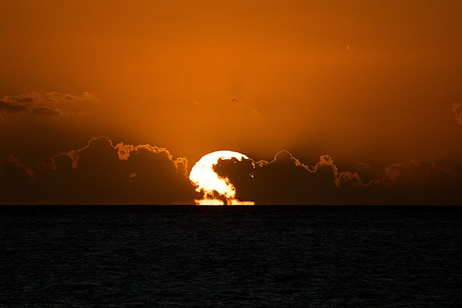
 7:35 am
  8:36 pm
 More than 6 years have passed, since my friends and I planned a trip to Canary Islands. Sadly back then, just couple of months before our departure Ryanair cancelled our flight and we had to change our plans and go to mainland Spain. Since then we waited for the right moment to take that trip again and this year that moment had came. In the end of April Veronika, I and two of my friends Vito and Eva finally left Europe and landed in Africa.
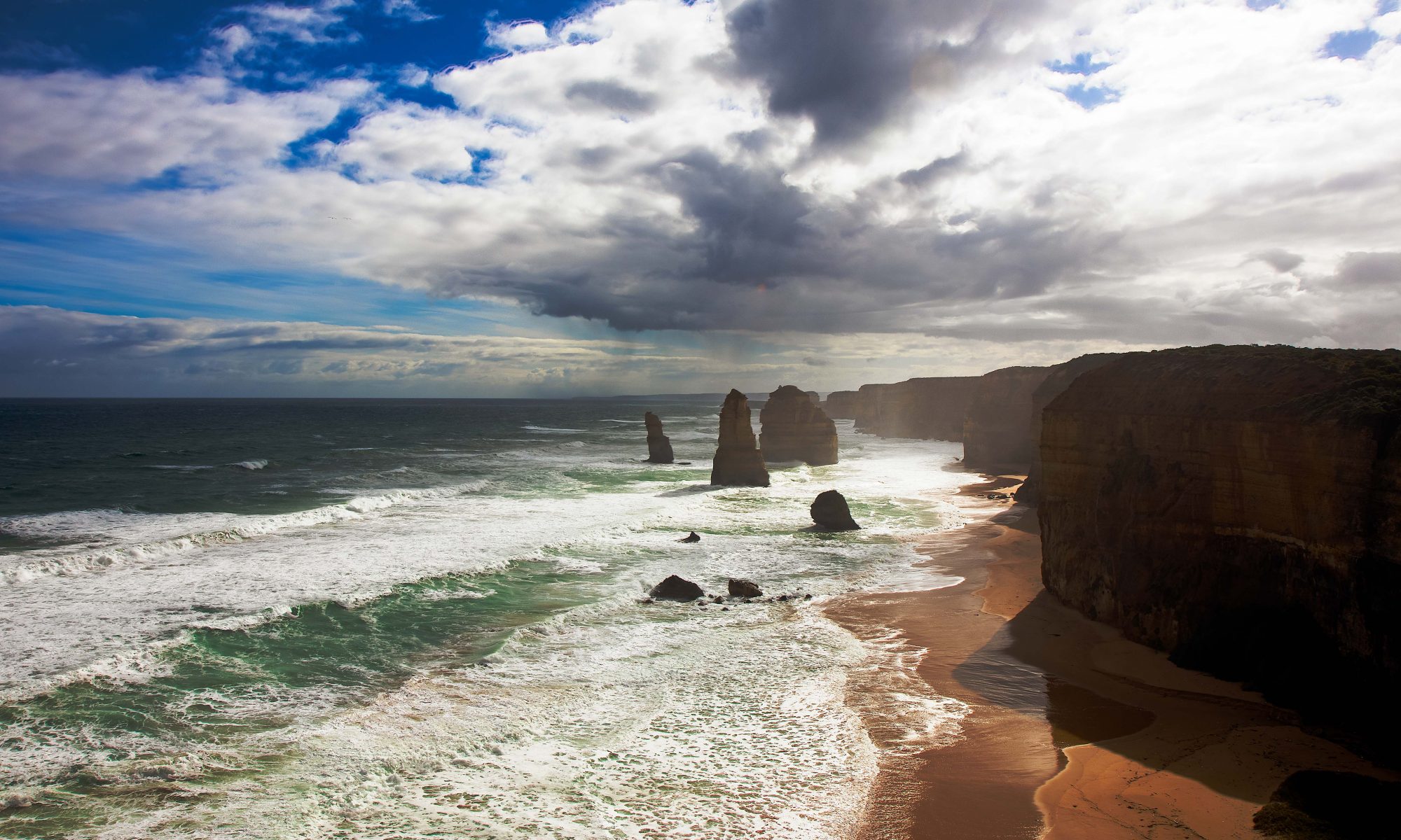
Our destination was Gran Canaria – the third largest island of Canary Islands. The round island is of volcanic origin, it is relatively small – only measuring 50km in diameter. It is located about 200 kilometers west of Western Sahara in Africa.
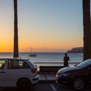
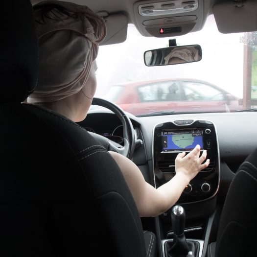
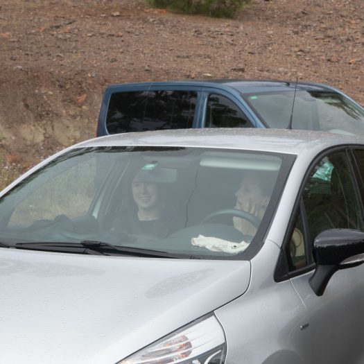
The flight from Venice took about 5 hours and I think it is the longest (by far) flight operated by Ryanair or some other low budget airline in Europe. We landed about 4pm on the island where we rented a car. We have pre-booked the car, while we were back in Slovenia, I still cannot believe how cheap it was. We booked our car at AutoReisen, and for 7 days we paid less than 50€ (not per day, in total). Noted, we did rent it out of the main tourist season, but still, it was actually cheaper to rent a car for whole week than to take a taxi from the airport to our apartments on the other side of the island.
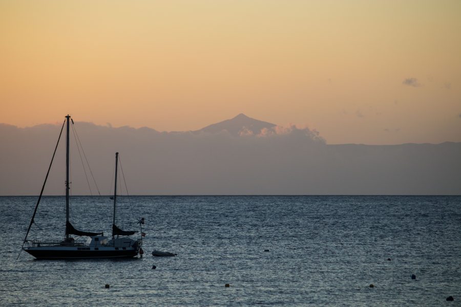
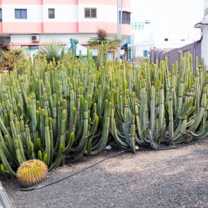
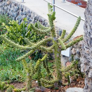
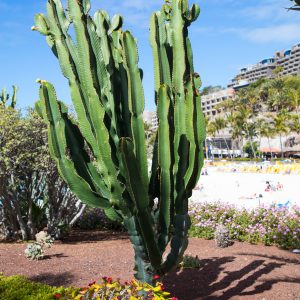
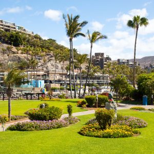
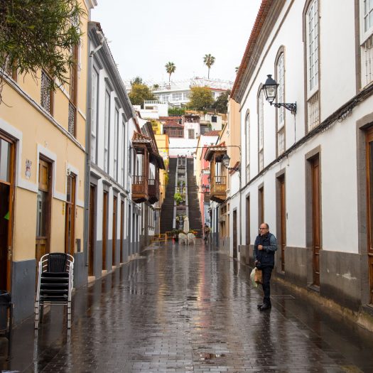
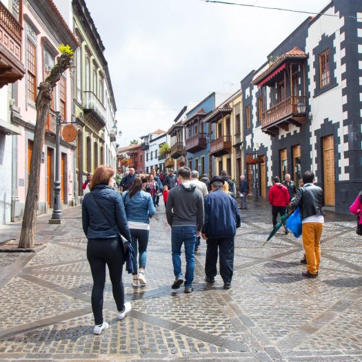
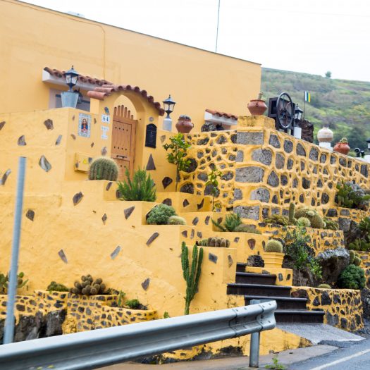
We arrived to our apartments in the evening, we choose the south of the island for our home base – a small town of Arguineguin. Surprisingly the weather on the island varies differently on the location, the south is better for summer holidays, it is warmer, sunnier and as a bonus it has a small desert couple of kilometers from our location.
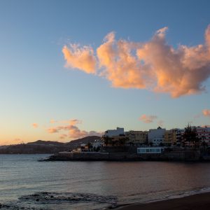
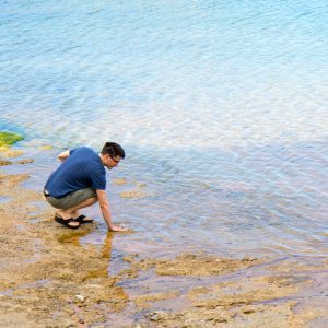
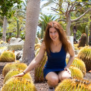
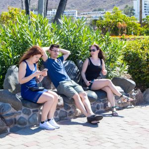
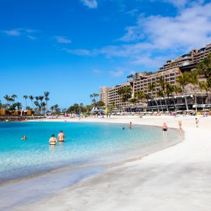
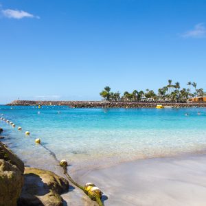
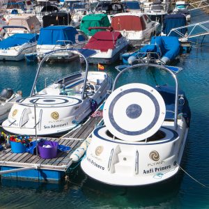
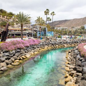
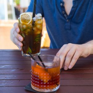
We spent our first two days exploring little towns around us and swimming. Despite this being Africa and getting burned really really fast on the sun, the water was cool – couldn’t have had more than 20 degrees, so in the end we didn’t swim that much. The area is very touristy, with lots of activities, beaches and paths everywhere.
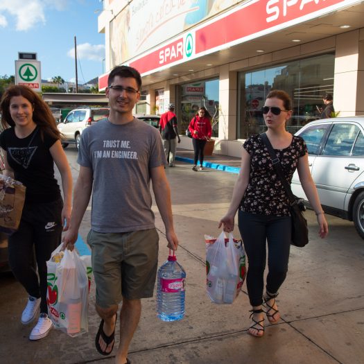
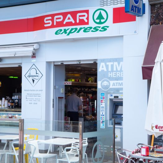
To our amusement the people there seem to like Spar (the store) very much, it was literary on every corner.
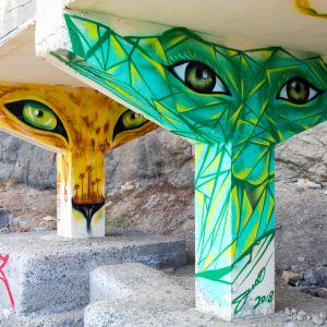
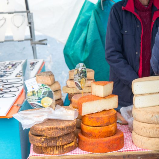
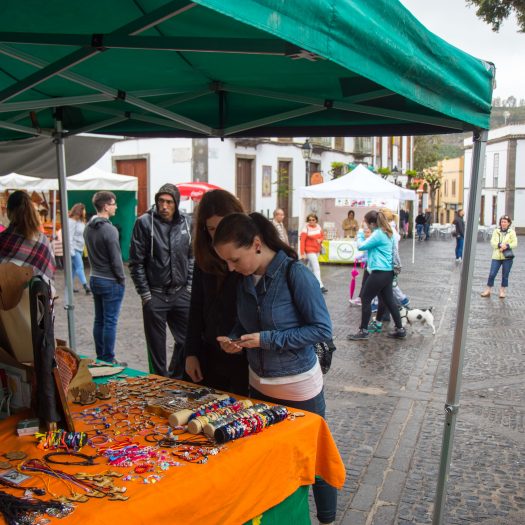
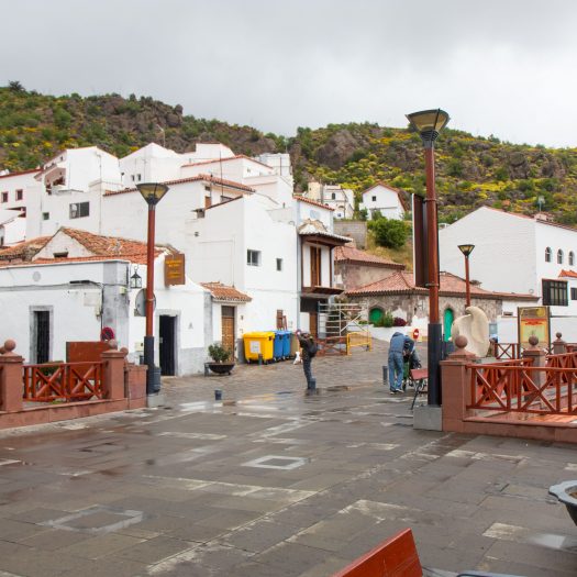
On Sunday (3rd day) we decided to go check out markets in the northern part of the island. The weather wasn’t the best but at least it wasn’t raining, yet. We took the highway on the eastern part of the island to go north and then went through the middle of island back. After about an hour of driving, we reached small town of Teror where the market was located. The market was nothing special, but Vito and I managed to “pirate” a recipe from some tourist cuisine book, that we later replicated. It was the Spanish pancake thingie, that Mikel did in Luleå once.
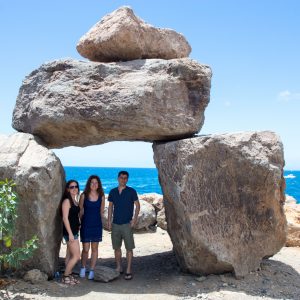
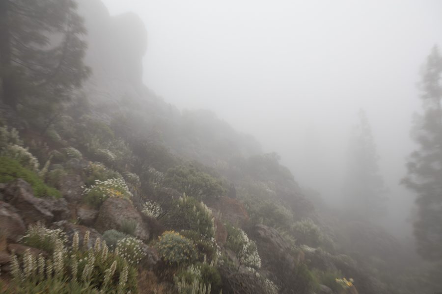
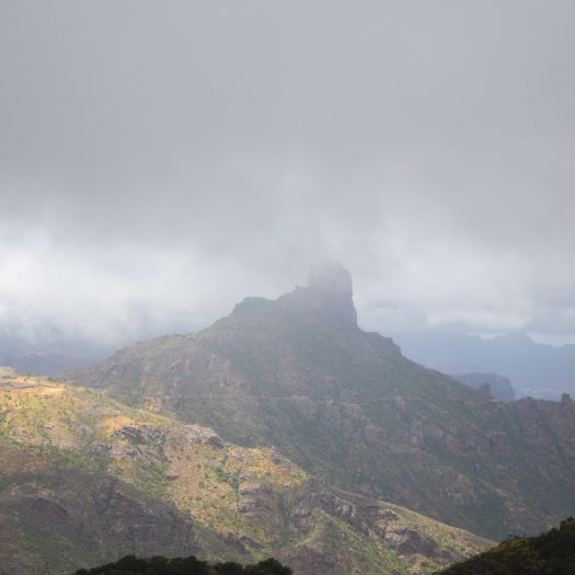
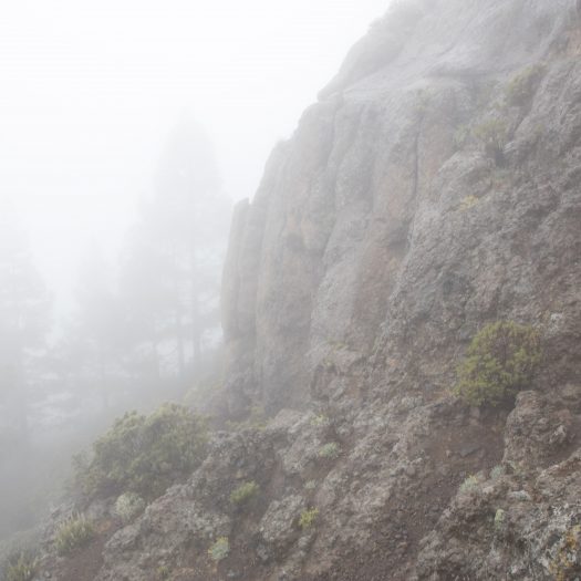
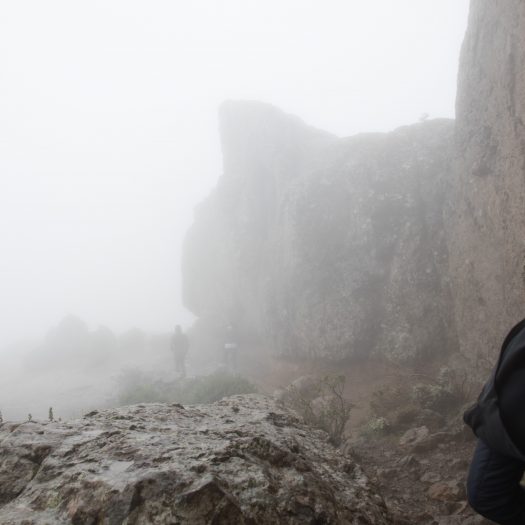
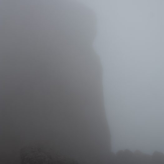
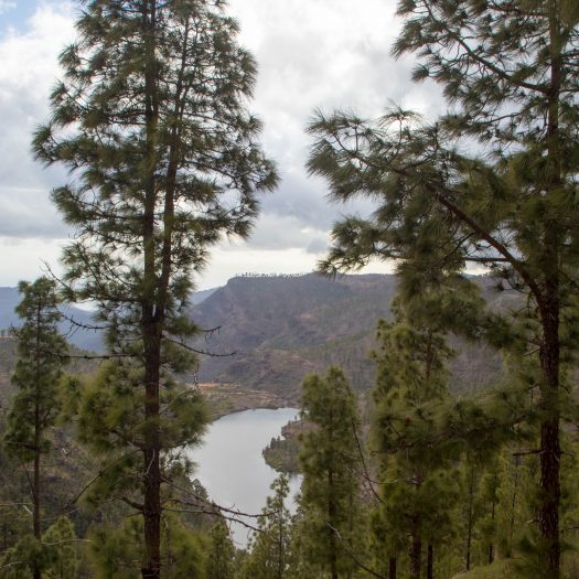
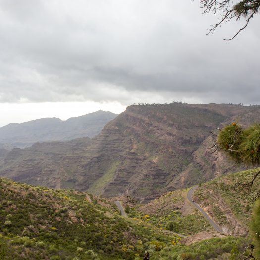
After the market we continued toward the middle of the island. There are two very high “rocks” in the middle, from where you can see half of the island. Sadly the closer and higher we got, the more clouds gathered. In the end when we finally reached the Roque Nublo it started to rain a bit, we stopped the car just below the fog. Since we already came here, we thought it only makes sense to actually hike to the top, it was suppose to be about 30 minute hike on a nice path to the top. This turned out into a fun adventure, soon after we left the car we found ourselves in a dense fog, the rain started pouring down on us, the paths literary turned into streams. After about half an hour we suddenly found ourselves in the middle of steep slope, below some cliffs and in some dense vegetation. The fog was so dense we weren’t sure where we were or where we had to go. After searching for another half an hour, climbing the steep slopes we finally figured out we were lost. After some intense backtracking and searching we finally found the correct path and soon climbed to the top where we could see exactly nothing, the fog was so dense the visibility was about 5m .
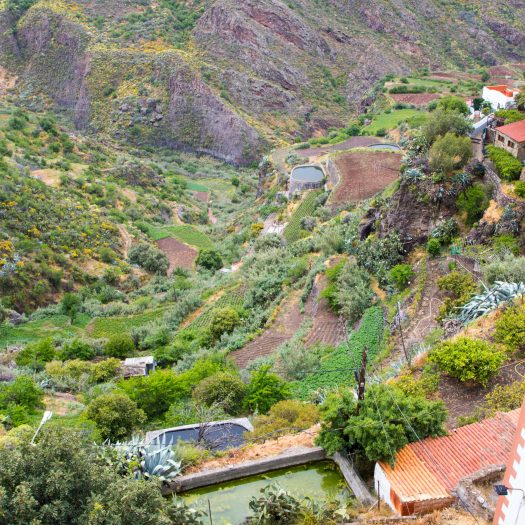
We returned to a car about 3 hours later, all wet and cold. As we lowered from the mountains the fog dissipated and we were greeted by incredible views of the valleys below us. I think we were stopping every 15 minutes to take some photos, combined with a narrow and windy road it must have taken us more than 2 hours to make the last 25 kilometers to our apartments, where the skies were clear and of course there was no sign of rain.


 Leave a comment (0)